|
This page is available in Gaelic ~ link here
The Torridon area of the Western Highlands of Scotland is driest and sunniest in May, and coldest and wettest in January. See the RAINFALL PAGE for more details. Due mainly to the hilly nature of the terrain and the regularity of low-pressure systems approaching from the Atlantic, the West Highlands of Scotland tend to be cloudier and wetter than eastern Scotland or England. However the coastal fringe benefits not only from the influence of the Gulf Stream which keeps the temperature much warmer than it should be given its latitude, but also has a much lower rainfall and greater amount of dry and sunny weather than is found even a few miles inland, where the hills will cause the air to rise and the rain to fall. With an annual average of less than 1,100 hours of sunshine over the mountains of the Highland region it is the most cloudy area of mainland Britain. Mean daily sunshine figures reach a maximum in May or June, and are at their lowest in December. Although winter days are very short, this is amply compensated by long summer days with an extended twilight. On the longest day there is no complete darkness in the north of Scotland. The Torridon area has three to four hours more daylight (including twilight) at midsummer than London.
11.20 p.m. on midsummers eve 2003
Rainfall can vary from over 120 inches per year over the hills in the Highlands (comparable with rainfall over the mountains of the English Lake District and Snowdonia in Wales) to less than half that on the west coast fringe.
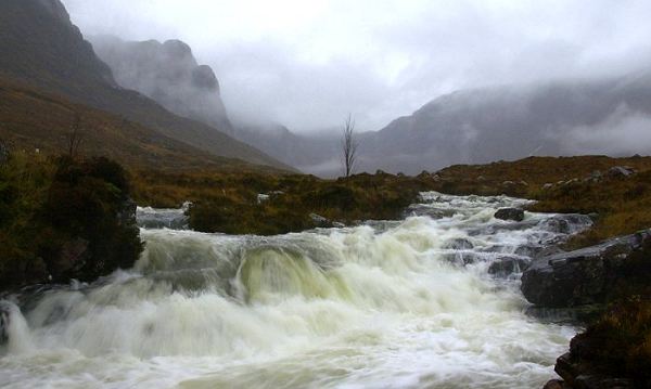
5 inches of rain in 24 hours in 2002 The most common direction from which the wind blows in Scotland is the southwest, but the wind direction often changes markedly from day to day with the passage of weather systems. In general, wind speed increases with height, with the strongest winds being observed over the summits of hills and mountains. Since many of the major Atlantic depressions pass close to or over Scotland, the frequency of strong winds and gales is higher than in other parts of the United Kingdom. Over low ground, the northwest coast has over 30 days with gales per year in some places. In general, January and February are the coldest months. The daytime maximum temperatures over low ground in the Highlands in January and February average around 5 to 7 °C, but on rare occasions in the lee of high ground, temperatures can reach up to around 15°C when a moist south or southwesterly airflow warms up after crossing the mountains, an effect known as the föhn after its more dramatic manifestations in the Alps. The lowest temperatures occur inland, away from the moderating influence of the sea, in valleys into which the cold air drains, but obviously as one gains height as one moves inland, the temperature falls. Snow rarely lies on the ground at sea level before November or after April, and on the coast it is rare - on average for less than 10 days a year. However, over the mountains snow typically lies for more than 50 days a year. Serious difficulties with roads blocked by snow are, fortunately, not common on low ground, but some higher roads in Scotland are regularly affected each year - this can affect the west east route from the Torridon area to Inverness. On the highest summits, such as Liathach, snow cover typically persists for around five months of the year. (Figures - Met Office) |