| A photo diary of Ian Spalding (and Ted's) Expedition to Mount Everest, May 2012 | ||
|
Viewpoint above Nyalam, 14,000 feet. Nyalam is on the Friendship Highway on the way to Everest Base Camp; we stopped there for two nights to acclimatise. |
||
|
|
|
|
|
Tong La Pass, 16,900 feet. Journey via the Friendship pass between Nyalam and Tingri. |
||
|
|
|
|
|
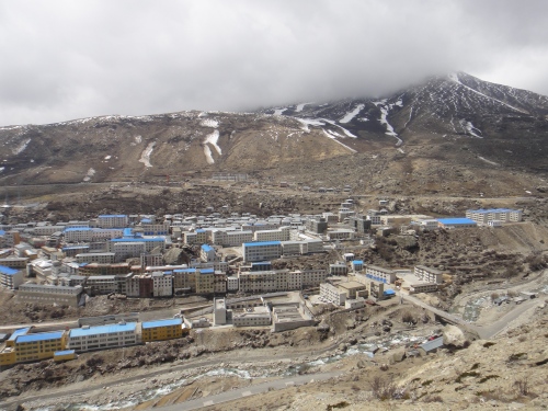
Viewpoint above Tingri, 15,000 feet. Acclimatisation day at Tingri, last stop before Base Camp. |
||
|
|
||
|
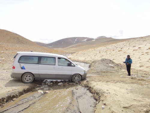
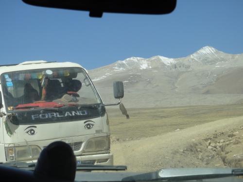
Drive from Tingri to Everest Base Camp, 14,250 feet... |
.. and 14,500 feet. |
|
|
|
|
|
|
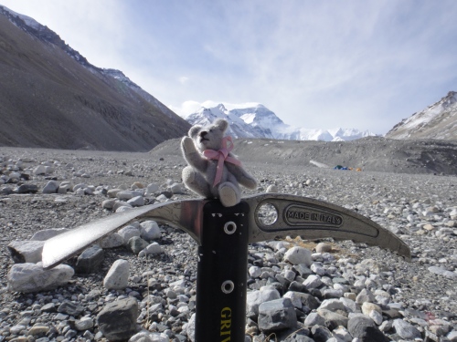
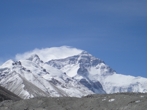
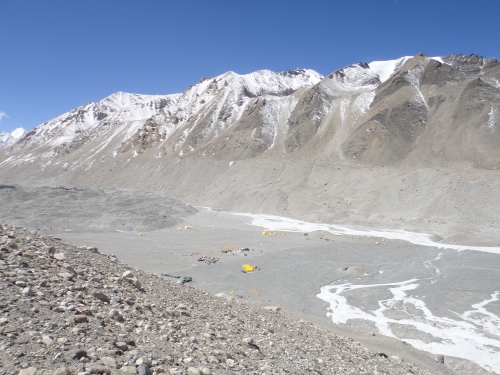
First sight of Everest from Everest Base Camp, 17,000 feet. |
Ted at Everest Base Camp, 17,000 feet. |
|
|
|
|
|
|
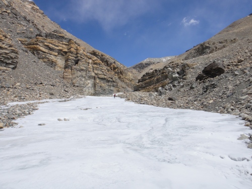
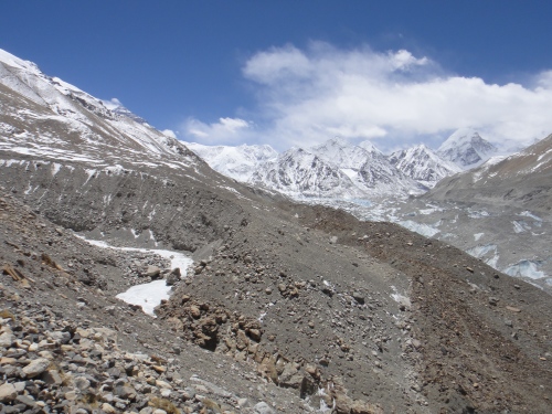
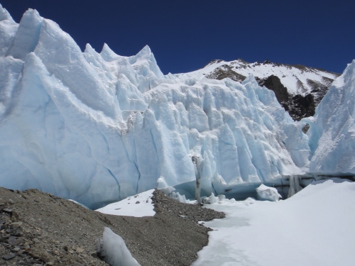
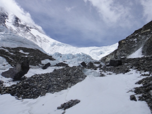
Ice river above Everest Base Camp, 18,372 feet. Acclimatisation walk two days after arriving at Base Camp. |
Viewpoint above the ice river, 19,200 feet. |
|
|
|
|
|
|
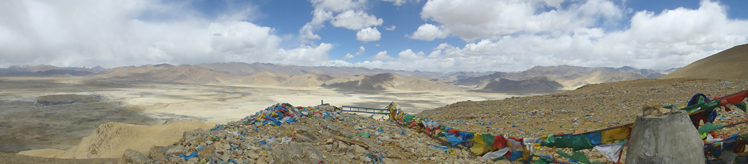
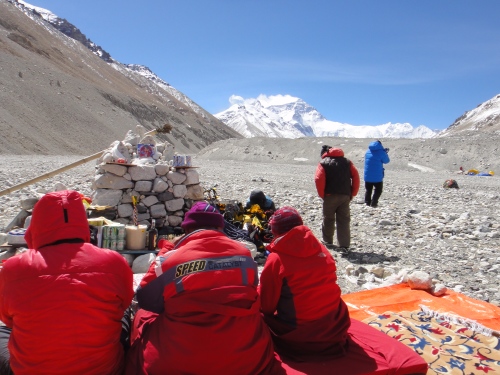
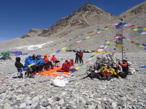
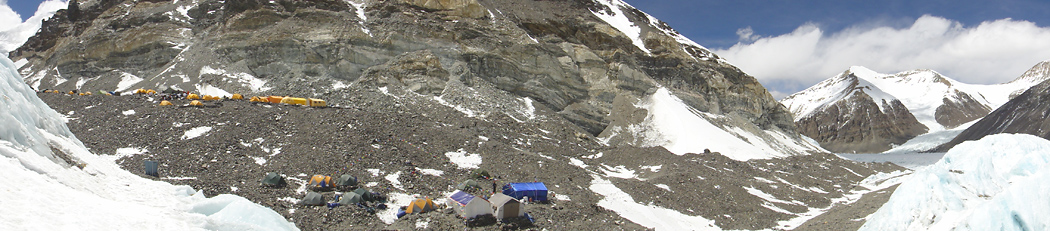
Puja (ceremony) at Everest base camp, 17,000 feet. Before climbing Everest the sherpas insist on a puja to appease the gods and ensure a safe trip. |
||
|
|
|
|
|
Everest from Everest Base Camp, 17,000 feet. |
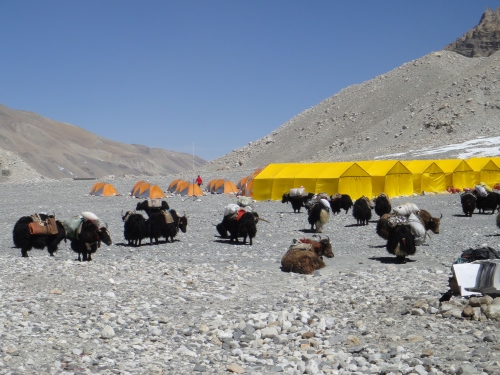
Yaks awaiting loading at Base Camp. |
|
|
|
|
|
|
View from above Base Camp, 18,235 feet. Second acclimatisation walk three days after arriving. |
||
|
|
|
|
|
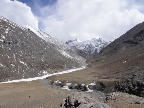
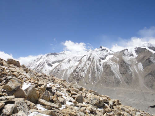
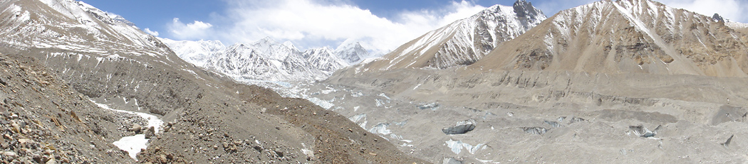
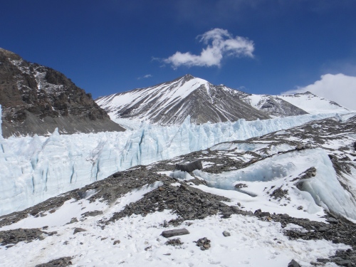
View of Rongur glacier from Xarlungnama, 19,685 feet. Walk to Intermediate Base Camp. |
||
|
|
||
|
View of Rongur glacier from Xarlungnama, 19,685 feet.Walk to Intermediate Base Camp. |
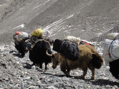
Yaks heading to Intermediate Base Camp, 19,817 feet. |
|
|
|
|
|
|
Walk to Advance Base Camp, 20,700 feet... |
...20,800 feet. |
|
|
|
|
|
|
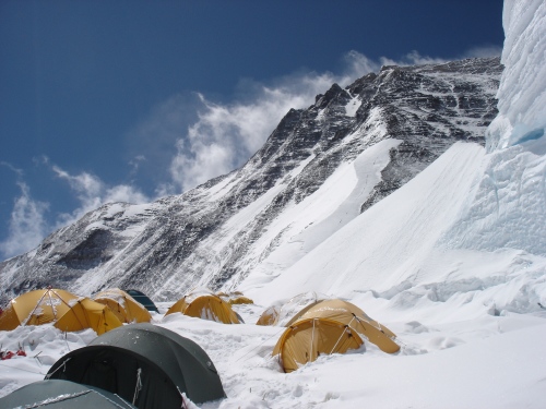
Advanced Base Camp, 21,000 feet. Ice climbing practice day. |
||
|
|
||
|
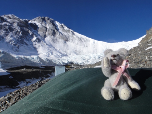
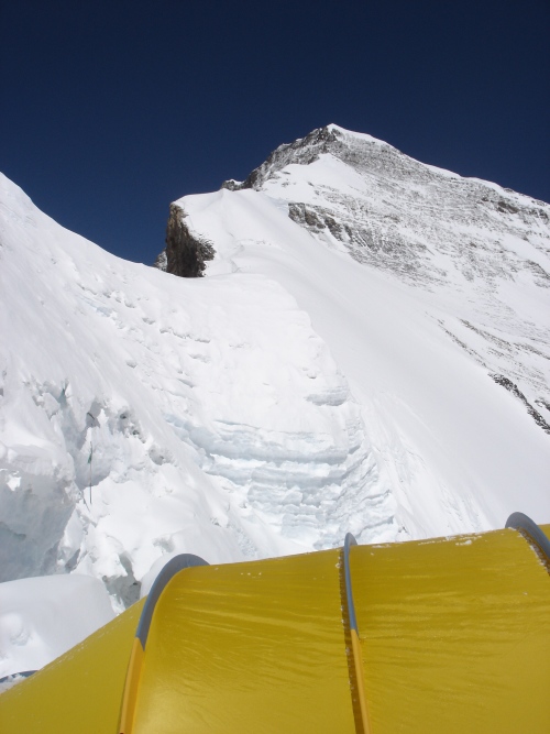
Advanced Base Camp, 21,000 feet. Ted perched on my tent. |
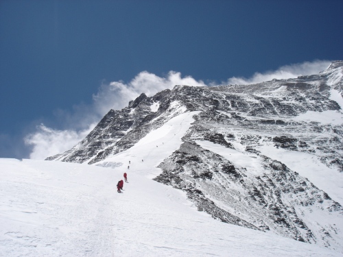
Just below Crampon Point, 21,300 feet. First acclimatisation trip to North Col. |
|
|
|
|
|
|
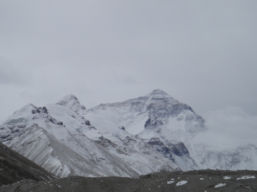
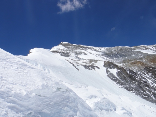
Looking towards Everest's north east ridge from climb to North Col, 22,500 feet. |
||
|
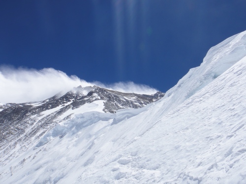
Looking towards Changlee.
|
Fixed ropes on climb to North Col.
|
|
|
|
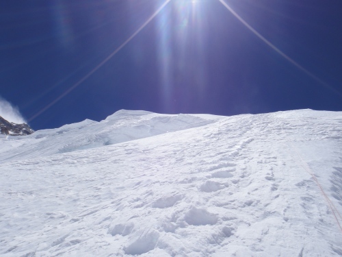
North Col, 23,031 feet. |
|
|
North Col, 23,031 feet.
|
|
|
|
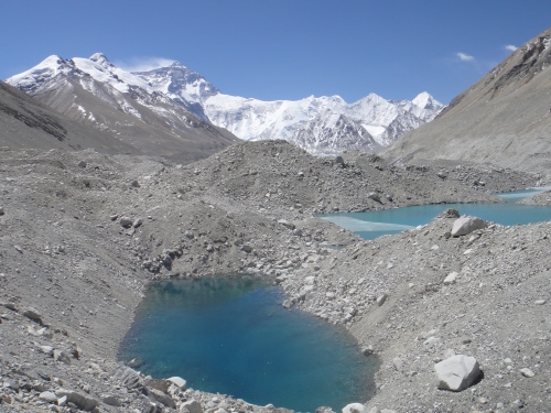
Everest North Ridge from Rongbur Glacier, 17,150 feet. |
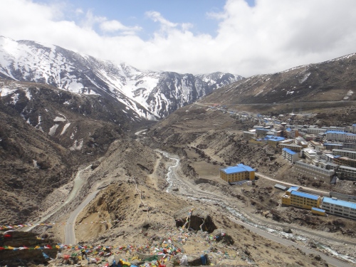
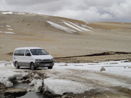
Drive back to Tingri, 14,600 feet. |
|
|
|
|
|

Ian got to Advanced Base Camp (21,300 feet) easily enough but the weather was very bad. The first weather window was missed as the Chinese hadn't completed fixing the ladder (some Indians complained and the Chinese promptly went home). Ian waited about a fortnight for another window and did lots of practice climbs to keep busy, but got a cold just before the second window and wasn't able to climb fast enough to go for the summit due to a bad cough. The north ridge route begins from the north side of Everest in Tibet. Expeditions trek to the Rongbuk Glacier , setting up base camp at 5,180 m (16,990 ft) on a gravel plain just below the glacier. To reach Camp II, climbers ascend the medial moraine of the east Rongbuk Glacier up to the base of Changtse at around 6,100 m (20,000 ft). Camp III (ABC – Advanced Base Camp) is situated below the North Col at 6,500 m (21,300 ft). To reach Camp IV on the north col, climbers ascend the glacier to the foot of the col where fixed ropes are used to reach the North Col at 7,010 m (23,000 ft). From the North Col, climbers ascend the rocky north ridge to set up Camp V at around 7,775 m (25,500 ft). The route crosses the North Face in a diagonal climb to the base of the Yellow Band reaching the site of Camp VI at 8,230 m (27,000 ft). From Camp VI, climbers will make their final summit push. Climbers face a treacherous traverse from the base of the First Step: 27,890 feet (8,500 m) – 28,000 feet (8,500 m), to the crux of the climb, the Second Step: 28,140 feet (8,580 m) – 28,300 feet. (The Second Step includes a climbing aid called the "Chinese ladder", a metal ladder placed semi-permanently in 1975 by a party of Chinese climbers. It has been almost continuously in place since, and ladders have been used by virtually all climbers on the route.) Once above the Second Step the inconsequential Third Step is clambered over: 28,510 feet (8,690 m) – 28,870 feet (8,800 m). Once above these steps, the summit pyramid is climbed by a snow slope of 50 degrees, to the final summit ridge along which the top is reached. |