Area known as the Aird Peninsula, Shieldaig
Bail-a-Mhinister centred on NG 81502 54962.
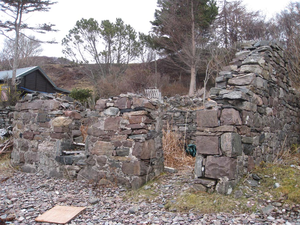
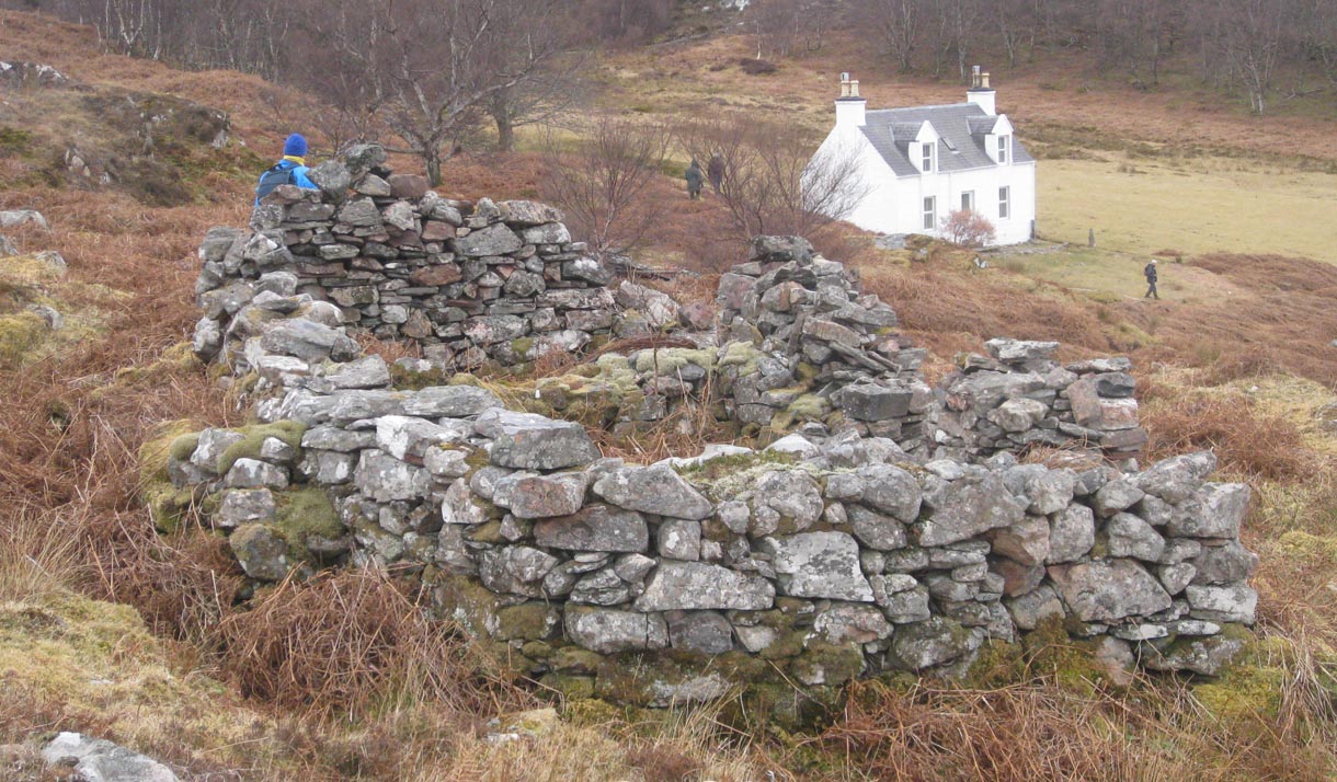
This area situated on a terrace just above the shoreline comprises a row of ruined buildings probably former fishermen’s houses. There are 7 buildings with a path running in front of them, and a stone wall now partly washed away that would have protected the buildings from the sea. There is a port, and behind the buildings an improved area of ground with some enclosure walls evident. Only one building had a visible fireplace. There is also a burn running down to the buildings which shows signs of having been diverted/dammed.
All the buildings are shown as roofed on the 1st OS maps
Camas-Beithe centred on NG 81485 55172 3m
This area has 6 buildings situated on a terrace above the shoreline. It is heavily overgrown with bracken so there may be more buildings submerged in the growth. There is evidence of enclosure walls. Built in to the slope above the buildings is a small corn drying kiln with flue visible. Only one building had a visible fireplace. There was port visible on the shingle beach.
The buildings are shown as roofed on the 1st OS maps
Upper Camas-Beithe NG 81555 55230 18m.
This is a house with byre attached to an enclosure built on the flat area above Camas-Beithe.
From this building there is evidence of a stone dyke running across the peninsula down to the sea. It becomes quite substantial approaching the E side of the peninsula.
Camas-an-Leim centred on NG 81783 55251 11m
At this area there are 4 buildings attached to this substantial dyke, and a former byre. They have rounded interior corners and cruck slots visible. There is also a small gorge walled off at NG 81705 55250 36m with a heavy duty chain fixed to a rock. Perhaps this was used to pen cattle or horses. On the slopes above this area there is an improved area enclosed by a stone dyke with several stone clearance piles. NG 81836 55257 26m
Above the bay is another building with rounded ends situated on a terrace with a wall attached NG 81933 55329 7m
There is a jetty at NG 81913 55359
On the shore is a long building and in front of it an area used to pull boats up into NG 81923 55342
There are a further 3 buildings just above the shoreline around the bay at NG 81896 55337 NG 81826 55399 NG 81805 55437.
The area on the raised terrace above the bay has been improved and used for cultivation, and there are numerous stone dykes crossing the whole area. There are also stone clearance piles.
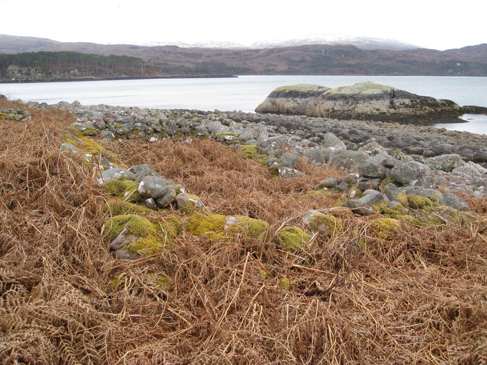
There is a cleared area on the beach used as a port.
These buildings are all shown as roofed on the 1st OS maps. There were a few additional buildings shown but our survey did not find these.
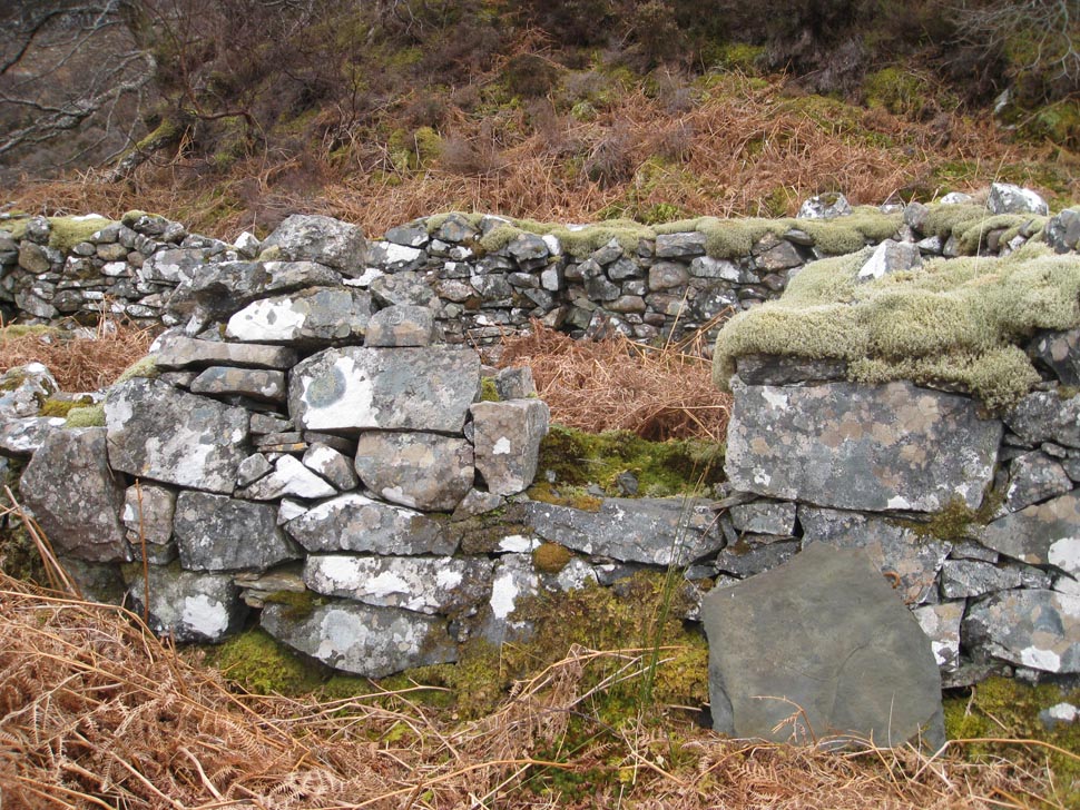
Between this area and the next settlement at Bad-Callda there continue to be numerous dykes, small enclosures, an area with lazy beds and peat cutting at NG 81877 55576. A well worked area. A small stone bridge crosses a burn at NG 81661 55727 27m
Bad-callda centred on NG 81605 56002
An enclosure wall with the footings of a building attached to it runs to the rear( S) of these buildings NG 81565 55869 15m
There is a roofed house at NG 816055941 now used as a holiday home.
A small pen surrounding a large tree (? Protection) or bothan lies just behind the house.
In front of the house upright stones have been used as strainer posts for an enclosure fence (now broken down)
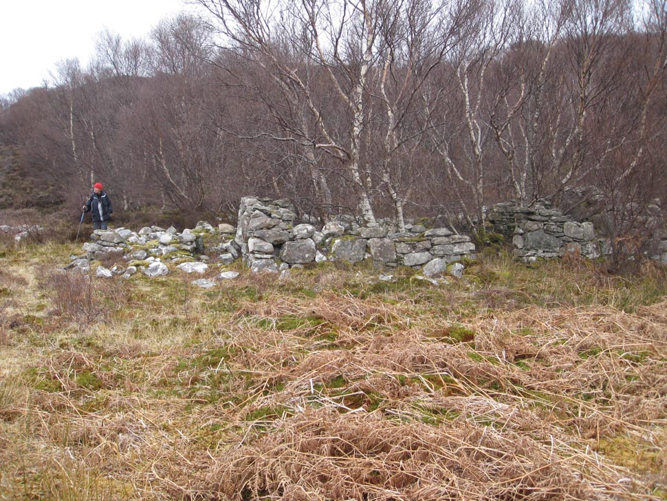
On the slopes above this house lie the ruins of 3 older buildings which have rounded ends. NG 81686 55953 NG 81688 56056 NG 81654 56022 The latter has had a later wall built on 2 sides to protect/enlarge it. Another has a buttress to prop up part of a wall.
Between the house and the sea are two wells, one an older stone well and the other one where a bucket is lowered into the well. They are adjacent at NG 81592 56033
All these buildings and 3 others in an area very overgrown with scrubby birch and bracken are shown as roofed on the 1st OS maps.
Dornie centred on NG 81348 55989
In this area is a house which is still lived in and numerous footings and walls of older buildings which cannot be exactly located as they have been removed and reworked.
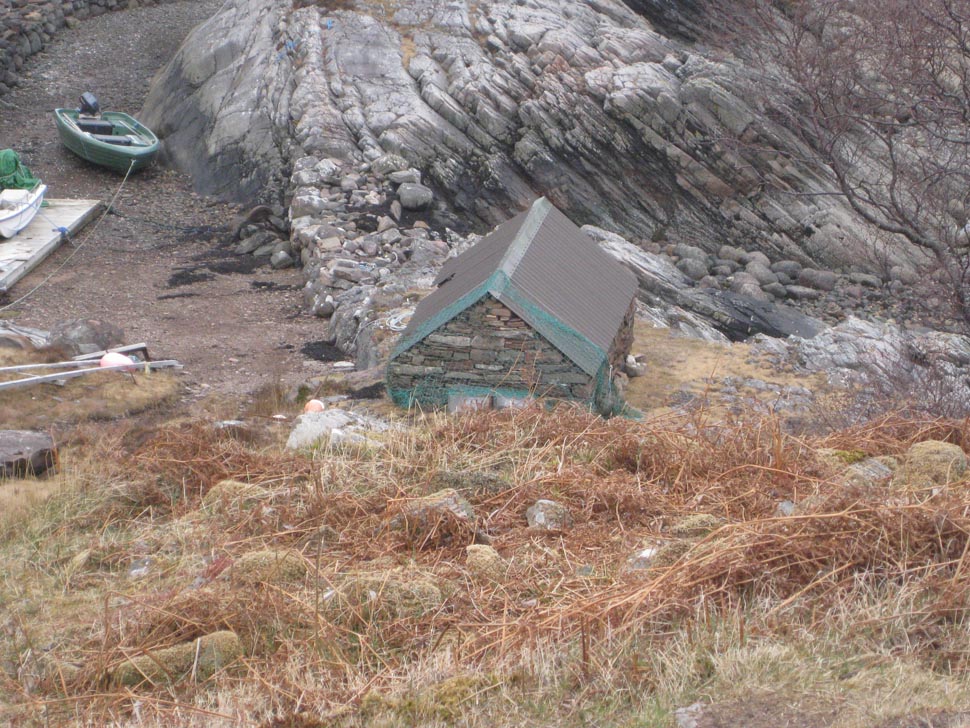
There is a small harbour with boathouse.
A path leads from the harbour on to the adjacent point of land.
There are enclosures on the land above the harbour area with improved ground and several lazy beds NG 81339 55844
3 small roofed buildings are shown in the enclosure area on the 1st OS, but nothing is shown at the harbour area.
To the W.
Camus- Ruadh centred on NG 81216 55856
This area is situated on a terrace above the beach.
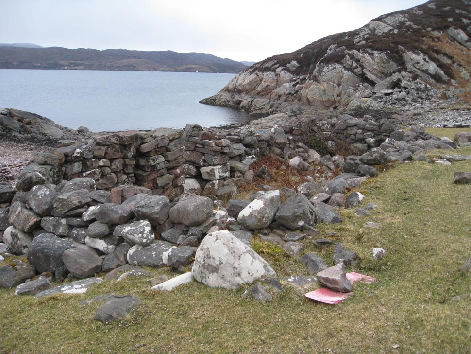
There is a substantial enclosure and 2 buildings and a port.
One of the buildings sits on the shingle beach with its rear wall built into the terrace.
Both these buildings (roofed) and the enclosure are shown on the 1st OS map.
NG 81409 55617 another small enclosure with no buildings in the vicinity.
The Aird area has been well populated and worked probably in pre clearance times around the 18th century or even before. The building type is typical of this time. The evidence of ports in every area of settlement shows use of the sea for both access and fishing.
